

How Long Does It Take to Drive Across Kauai?
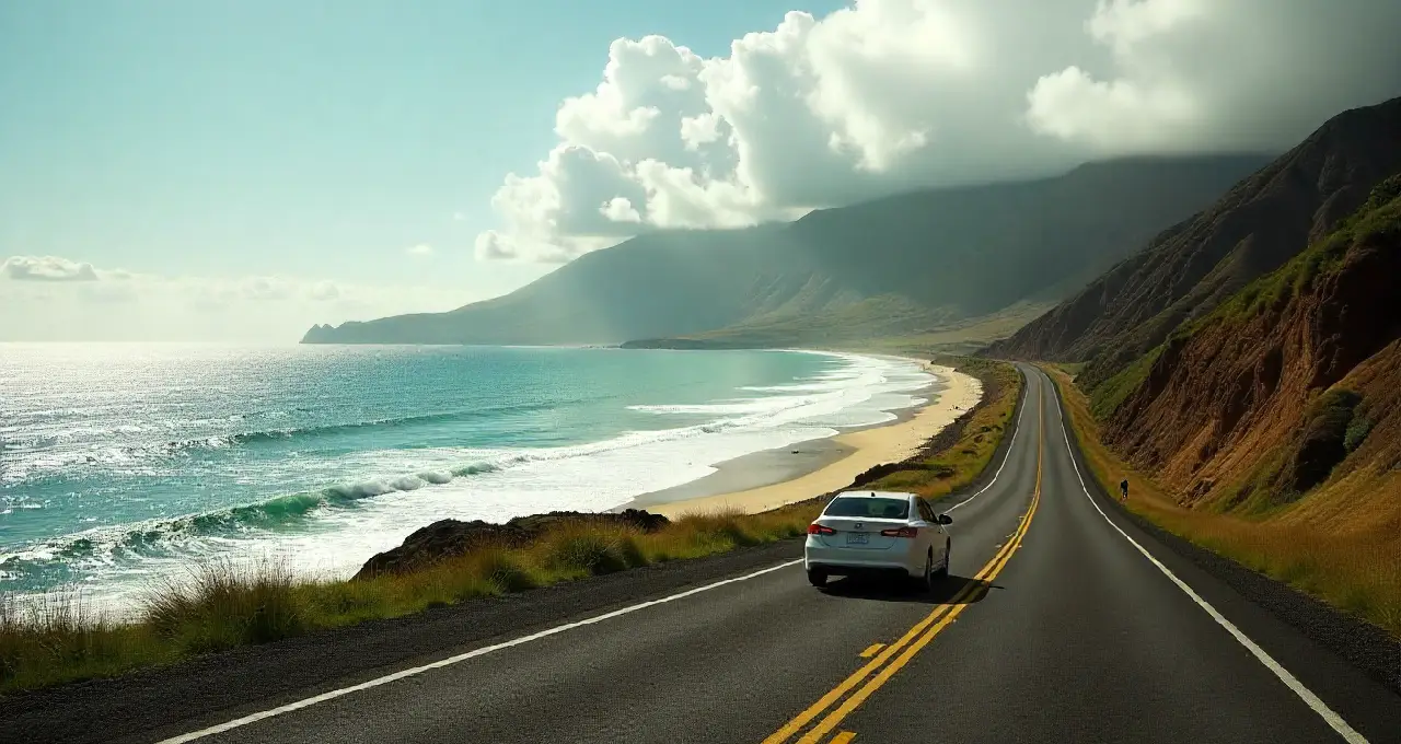
Driving across Kauai, Hawaii’s Garden Island, is shorter than on larger islands but still requires careful planning. Without stops, a full traverse takes about 3 hours, but with traffic, scenic viewpoints, and breaks, most drives take 4–6 hours. The main highways, Route 50 (south/west) and Route 56 (north/east), intersect at Lihue. The Na Pali Coast and single-lane bridges limit continuous driving, making early starts and strategic planning essential for a smooth trip.
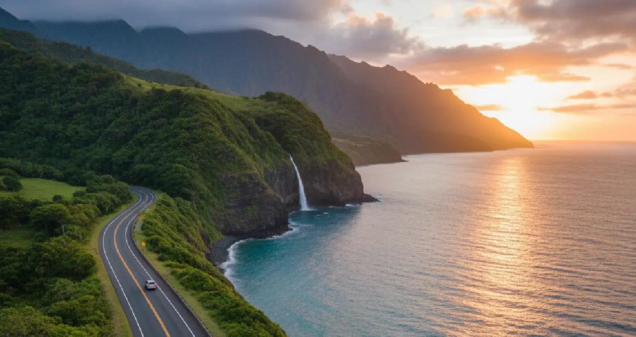
First-time visitors to Kauai, Hawaii's Garden Island, are often surprised by how the roads work. The island is 33 miles long and 25 miles wide, which makes it one of Hawaii's smaller inhabited islands. Kauai's dramatic Na Pali Coast makes it impossible to build roads that go all the way around the island, so the only way to get around is in a horseshoe shape.
Knowing how long it will take to drive is an integral part of planning a vacation because maps can make distances look shorter than they really are, and actual travel times can be much longer because of road conditions, traffic patterns, and the many scenic stops that drivers can't resist along the way.
Important tone:
When planning a vacation, it's important to know how long it will take to drive, since maps can make distances look shorter than they really are. When travelers have to choose between Hawaiian islands, Kauai's small size makes it easier to get around than the larger islands.
Summary
Without stops, it takes about three hours to drive from one end of Kauai to the other. But most people need four to five hours because of traffic, scenic viewpoints, and breaks.
Route 50 (west/south) and Route 56 (north/east) are the island's two main highways. They meet at Lihue, which is the only way to get through.
The rough terrain of the famous Na Pali Coast makes it impossible to drive all the way around the island, so drivers have to go back or plan their routes carefully.
During rush hours (7–9 AM and 3–6 PM), traffic jams in Lihue and Kapaa can add 30 to 60 minutes to travel times.
Total Distance East to West and North to South
Kauai is about 552 square miles. It is 33 miles long from east to west and 25 miles wide from north to south. But because of the coastal road routing and the Na Pali Coast barrier, drivable distances are very different from straight-line measurements.
Actual Drivable Distances
| Route | Distance | Typical Time | With Traffic |
|---|---|---|---|
| Lihue to Princeville (North Shore) | 28 miles | 45 minutes | 1-1.5 hours |
| Lihue to Poipu (South Shore) | 13 miles | 20 minutes | 30-45 minutes |
| Lihue to Waimea (West Side) | 23 miles | 35 minutes | 45-60 minutes |
| Princeville to Waimea (Full Traverse) | 65-70 miles | 2.5-3 hours | 3-4 hours |
| North Shore to South Shore (via Lihue) | 42 miles | 1.5 hours | 2-2.5 hours |
A trip from the north to the south of Kauai is 119 miles long when you include scenic detours and side roads. The direct route, on the other hand, is much shorter.
The longest uninterrupted drive goes from Ha'ena Beach (the end of the north shore) to Polihale State Park (the end of the west coast). It takes about 70 miles through Lihue.
This trip will take at least 3–4 hours without stops, but realistically it will take 5–6 hours with breaks for gas, food, and short scenic viewpoint stops.
Note:
If you're going to both the north shore and Waimea Canyon, make sure to leave early for long drives. If you book flights with good arrival times, you can start exploring right away instead of wasting part of your first day on a late arrival.
Main Highways and Routes
Below we discuss some of the Highways details:
- Highway 56 (Kuhio Highway) - North and East Shore
Route 56 is 28 miles long and goes from Route 50 at the intersection of Rice Street in Lihue to Route 560 in Princeville. This beautiful highway runs along the eastern coast and goes through big towns like Wailua, Kapaa, Anahola, Kilauea, and Princeville.
Key characteristics:
- Two lanes all the way through the length
- Numerous traffic lights through Kapaa (4 miles of congestion-prone area)
- Multiple beaches, parks, and scenic overlooks with frequent pullouts
- Narrow sections with limited shoulders between Anahola and Kilauea
- School zones requiring reduced speeds during morning/afternoon hours
Highway 560 Extension: Highway 560 goes 10 more miles from Princeville to Ke'e Beach and the Na Pali Coast trailhead. Along the way, there are single-lane bridges, tight turns, and beautiful views of the coast.
- Highway 50 (Kaumualii Highway) - South and West Shore
Route 50 is a 33-mile road that starts at the intersection of Rice Street and Route 56 in Lihue and goes north for about 1/5 mile to the northernmost entrance of the Pacific Missile Range Facility on the western shore.
This road leads to the west side, Poipu Beach Resort, Hanapepe, and Waimea Canyon.
Key characteristics:
- Mainly two lanes with occasional passing lanes
- Less traffic congestion than Highway 56 (except the Lihue junction area)
- Transitions from coastal areas to agricultural land to the arid west side
- Highway 520 spur provides access to Poipu (Maluhia Road/Tree Tunnel)
- Highway 550 branches at Waimea, leading to Waimea Canyon and Kokee State Park
Secondary Routes and Shortcuts
- Highway 580 (Kuamoo Road): Connects Wailua to interior areas, including Opaekaa Falls and the Wailua River Valley, providing an alternate route that avoids coastal traffic.
- Highway 530 (Koloa Road): Links Highway 50 to Koloa town and Poipu, offering an alternate routing to south shore destinations.
- Highway 520 (Maluhia Road): Famous "Tree Tunnel" road connecting Highway 50 to Poipu through eucalyptus tree canopy.
How Long Does It Take to Drive Across Kauai?
When it comes to traveling, how much time you spend on the road is really important. It can make a big difference in how much you get to see and enjoy during your trip. You won't want to miss out on the attractions and experiences that make your journey special!
Realistic Travel Time Calculations
Fastest possible time: 2.5 to 3 hours to drive from the northernmost point (Haena/Ke'e Beach) to the westernmost point (Polihale State Park) via Lihue, with no stops and good traffic.
Realistic travel time: 4-5 hours, accounting for:
- Traffic lights and congestion through Kapaa and Lihue
- Mandatory stops for fuel, restrooms, and food
- Brief photo opportunities at 2-3 scenic viewpoints
- Construction zones and occasional slow-moving vehicles on two-lane sections
Leisurely touring pace: 6-8 hours, including:
- Extended stops at beaches, waterfalls, and scenic overlooks
- Lunch breaks at local restaurants
- Short hikes to viewpoints or beaches
- Shopping stops in towns like Hanalei, Kapaa, or Hanapepe
Popular Route Times
| From | To | Distance | Minimum Time | With Stops |
|---|---|---|---|---|
| Lihue Airport | Princeville Resort | 28 miles | 45 min | 1-1.5 hours |
| Lihue Airport | Poipu Hotels | 15 miles | 25 min | 35-50 min |
| Poipu | Hanalei Bay | 42 miles | 1 hour 15 min | 2-2.5 hours |
| Princeville | Waimea Canyon | 50 miles | 1 hour 45 min | 2.5-3 hours |
| Kapaa | Polihale Beach | 45 miles | 1 hour 30 min | 2-3 hours |
One-Day Island Tour Timing
If you want to circle the parts of Kauai that are open to the public in one day, you need to leave early (7:00–8:00 AM) and be good at managing your time. A typical one-day tour covers:
Morning (3-4 hours): This is the North Shore route that goes from Lihue to Hanalei and Haena, with stops at Kilauea Lighthouse, Hanalei Bay overlook, and Ke'e Beach.
Midday (1-1.5 hours): Return drive to Lihue with a lunch stop in Kapaa or Wailua.
Afternoon (3-4 hours): The route heads south and west along the coast through Poipu, Hanapepe, Waimea, and Waimea Canyon, then back to Lihue by early evening.
Total driving time: 6–7 hours of driving straight, or 10–12 hours total with breaks, meals, and short trips.
For people visiting Kauai as part of a larger trip to the Hawaiian Islands, comparing Kauai with Maui's characteristics helps optimize vacation planning. Each island has its own unique driving conditions and access patterns.
Factors That Affect Driving Time
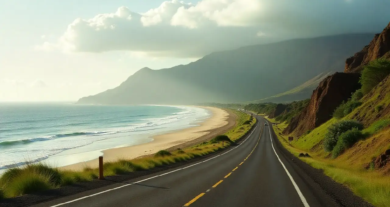
Driving around Kauai is easy, but traffic, scenic stops, and bad road conditions can make it take longer than you think. During rush hour in Kapaa and Lihue, short drives can turn into half-hour delays. Single-lane bridges and photo stops also add time.
Weather and roadwork, especially in winter or summer, can make you even slower. Plan to take it easy; Kauai is best enjoyed at a slow pace, not a fast one.
Road Conditions and Construction
| Factor | Key Details | Time Impact / Tip |
|---|---|---|
| Rush Hour Traffic | Kapaa (7–9 AM, 3:30–6 PM) and Lihue (7:30–9 AM, 3–5:30 PM) | +20–45 mins |
| Weekend Flow | Sat: North shore traffic; Sun: return flow | Moderate delays |
| Single-Lane Bridges | 7 bridges (Princeville–Ke’e Beach) | +1–3 mins each |
| Weather Conditions | Winter rains may cause flooding, especially in the north | Check forecast |
| Scenic Stops | Falls, overlooks, fruit stands | +1–2 hrs total |
| Speed Limits | 25–45 mph (max 50 mph) | Drive slowly and safely |
| Best Vehicle | SUV for unpaved roads; Sedan for highways | Avoid convertibles in strong winds |
As a general rule, when choosing where to go on vacation in Hawaii, families often put accessibility first. While Kauai offers scenic drives, travelers seeking family-friendly Hawaiian island activities may compare multiple islands for age-appropriate options.
Final thought: Tips for Driving Across Kauai
For planning and preparation, please do the following actions:
- Download offline maps: before leaving, since cell phone coverage is abysmal on the west side and parts of the north shore beyond Princeville. Google Maps works well when you're not connected to the internet, but dedicated GPS devices are a good backup.
For comprehensive itinerary planning, specialized platforms streamline complex multi-day scheduling by coordinating accommodations, activities, and driving routes.
- Fuel up regularly at every chance. There are many gas stations in Lihue, Kapaa, Waimea, and Princeville, but there are 20 to 30 miles between services on some remote stretches. After Waimea, there are a few gas stations on the west side.
- Start early: for long drives, especially when going to the north shore and Waimea Canyon in one day. Leaving between 7:00 and 8:00 AM makes the most of the daylight and keeps traffic from building up in the afternoon.
- Check weather forecasts for the north shore and mountain areas before you leave, since things can change quickly. Flash flood warnings mean that people in low-lying areas need to go right away, and sudden rain can close roads for a short time.
Time-Saving Strategies
A strategic overview can help you manage your time more effectively. As a savvy traveler, you should do the following:
- Avoid Kapaa during rush hours by planning routes that bypass the town or transit during midday (10:00 AM-2:00 PM) or late evening (after 6:30 PM).
- Combine the north shore and Waimea Canyon visits on separate days rather than attempting both in one exhausting day. Quality experiences at each location exceed rushed glimpses of both.
- Book accommodations strategically based on planned activities. Staying in Princeville for north shore exploration eliminates daily 1-hour drives from south shore hotels.
- Pack snacks and drinks for long drives, as restaurant options thin considerably on the west side and remote north shore areas. This eliminates time-consuming detours for food searches.
Suppose you're visiting Kauai as part of a larger trip to the Hawaiian Islands. In that case, it's helpful to know what makes each island special so you can plan your vacation better across multiple destinations.

Planingo
FAQ